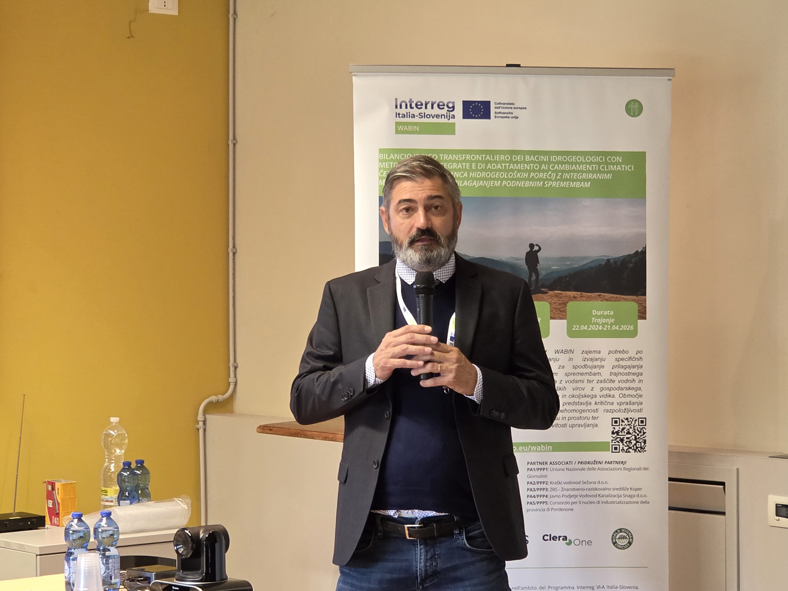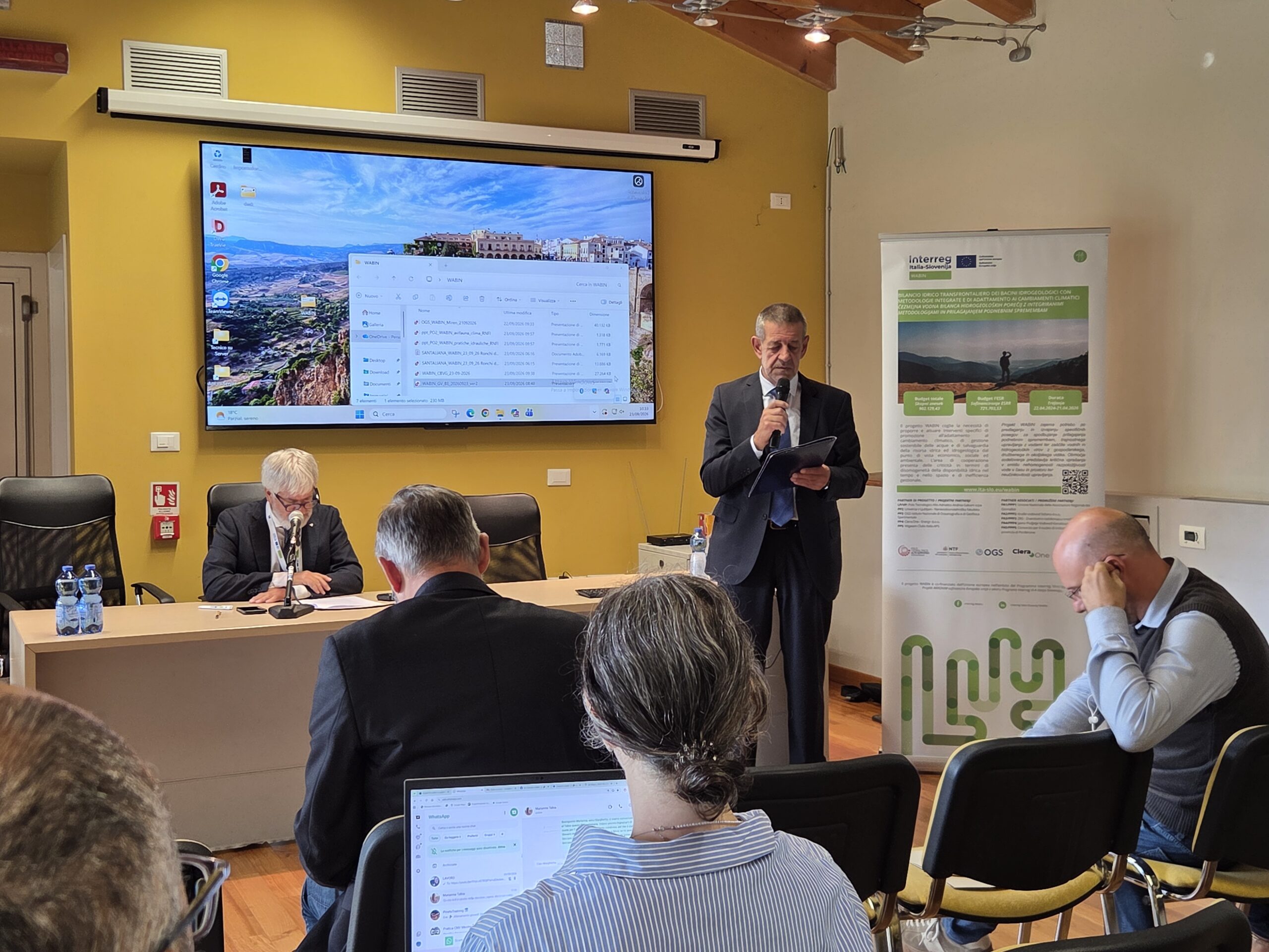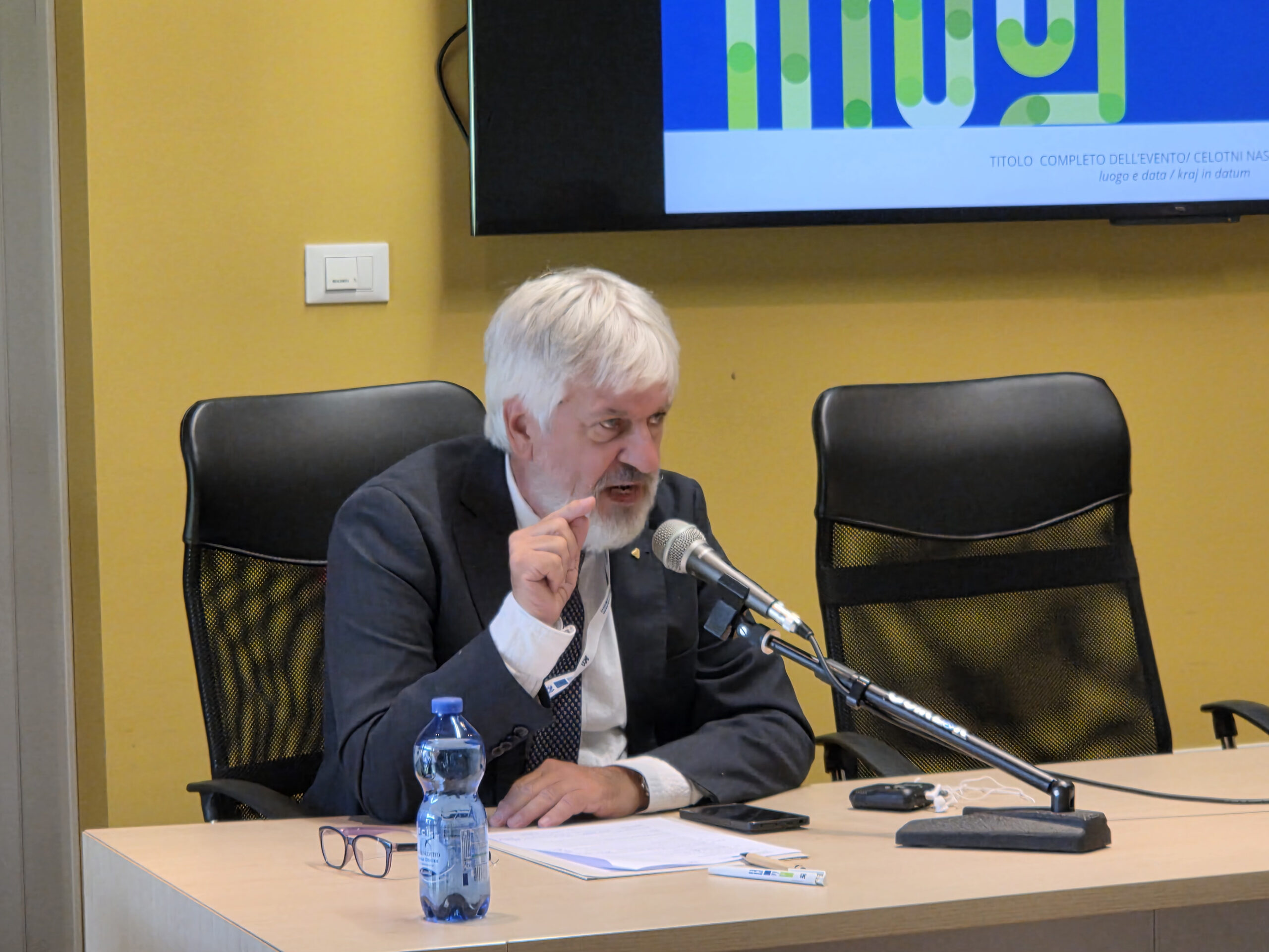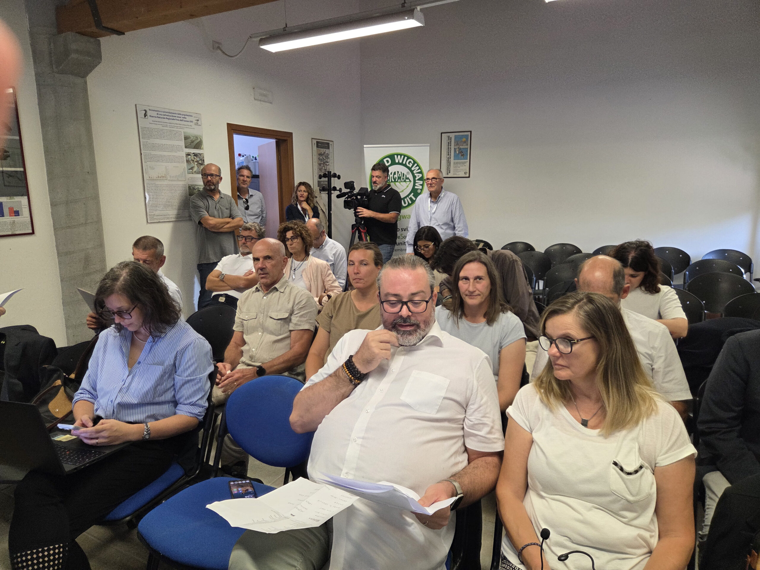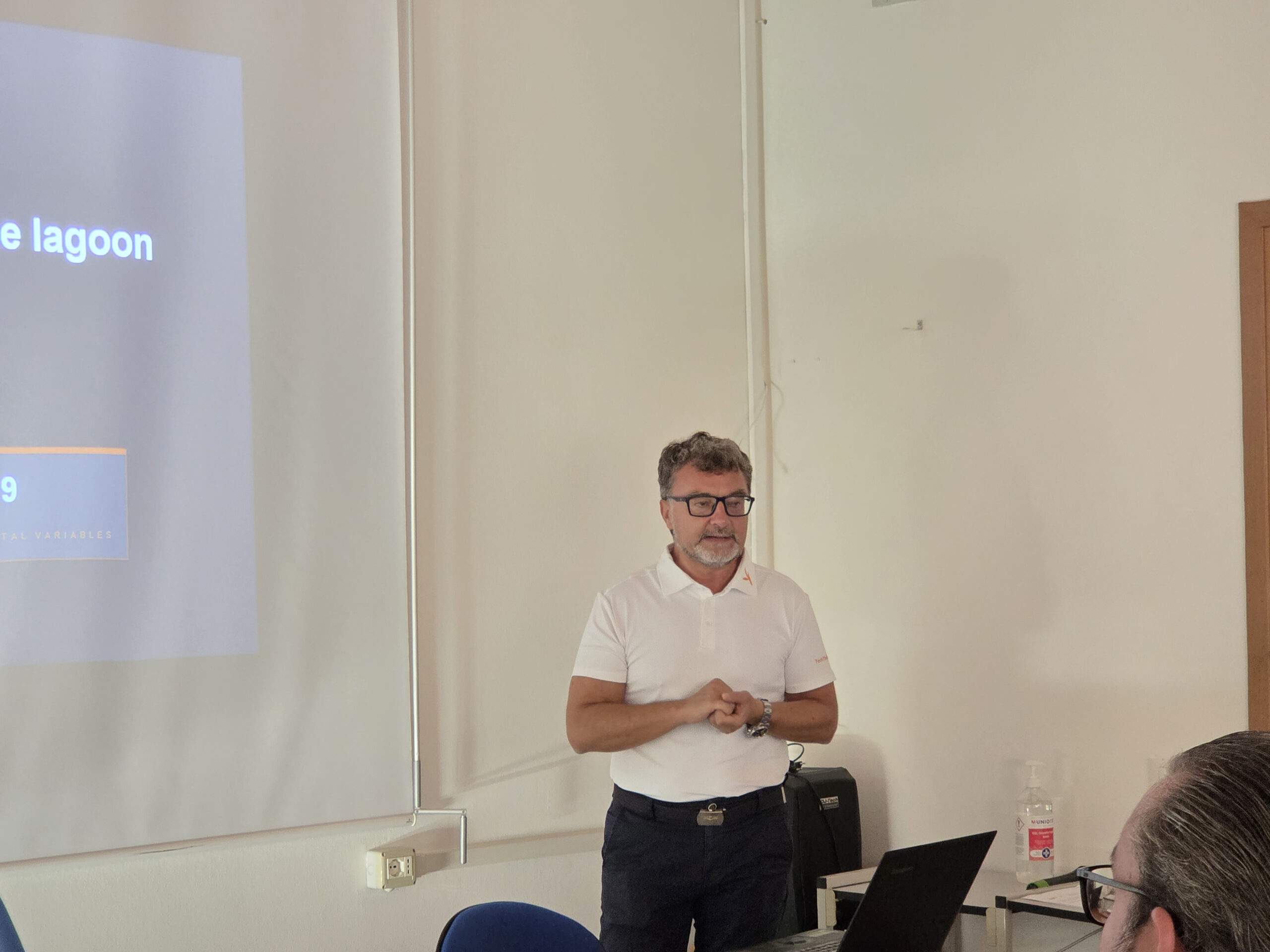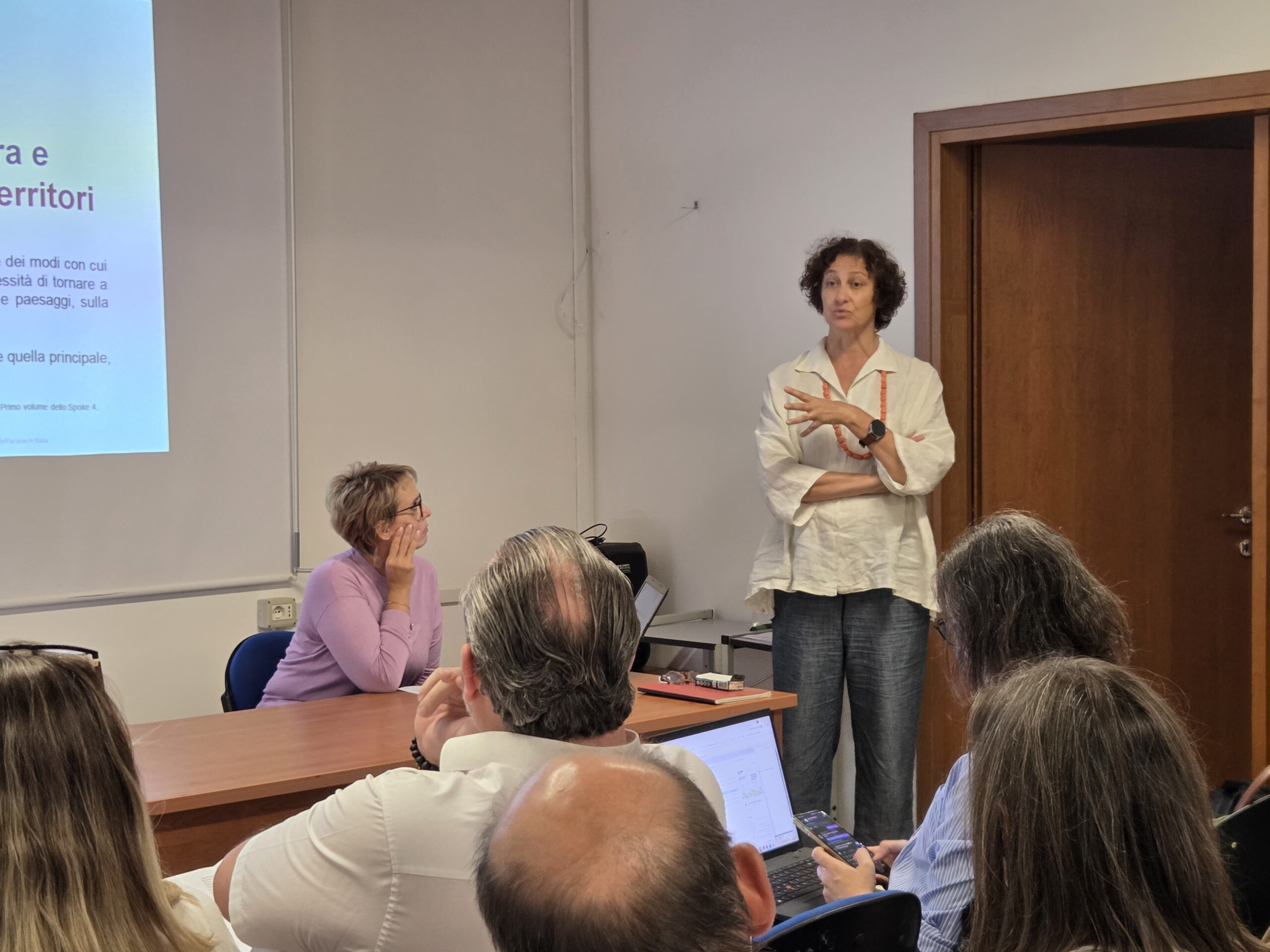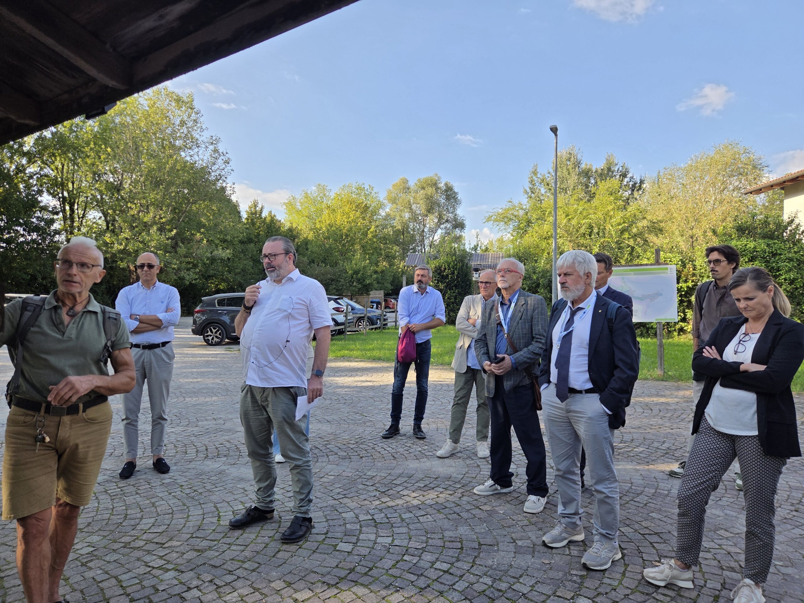

Ronchi dei Legionari and Staranzano, 23rd September 2026 – How much water is available, where does it flow, and how can we ensure its availability during periods of drought? During the cross-border study visit From models to the field, Slovenian and Italian experts connected water balance measurements and models with the experience of those who manage water resources every day. The morning session took place in Ronchi dei Legionari, followed by an afternoon programme at the Foce dell’Isonzo Regional Nature Reserve on Isola della Cona.
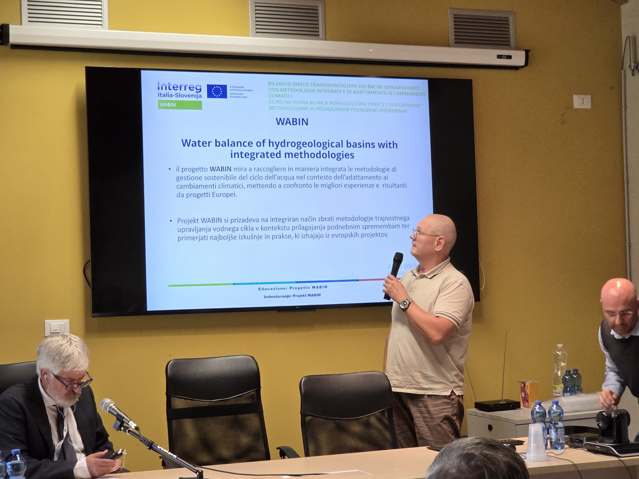
The Soča/Isonzo River and its tributaries connect areas on both sides of the border. Decisions about water use therefore require a shared understanding of the entire water system. This is one of the foundations of the WABIN project, presented by Diego Santaliana of Polo Tecnologico Alto Adriatico following opening remarks by Ervin Vivoda of the Slovenian Water Agency. The project combines data and research methods to develop more reliable water balance models, supporting water use planning and adaptation to climate change.
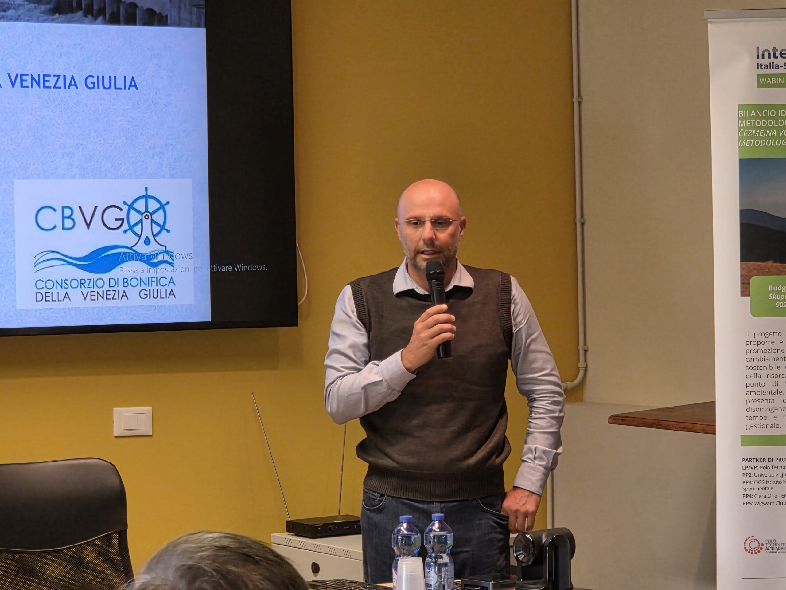
The Isonzo plain provides a concrete example of the benefits of more efficient water use. According to data presented by Daniele Luis of the Consorzio di Bonifica della Venezia Giulia, switching from surface irrigation to sprinkler irrigation has reduced water consumption by more than half.
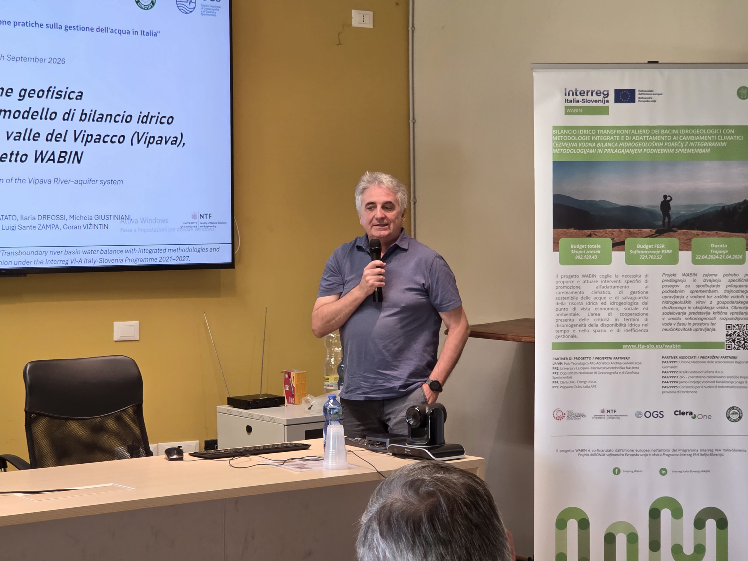
Managing water resources also requires an understanding of what happens below ground. Goran Vižintin of the University of Ljubljana presented groundwater modelling, while geophysical surveys conducted near Miren in the Vipava Valley provided a clearer picture of the local subsurface. The findings indicated limited interaction between the Vipava River and the aquifer in the area studied. Such results help verify modelling assumptions and improve the evidence available for decisions about water resources.
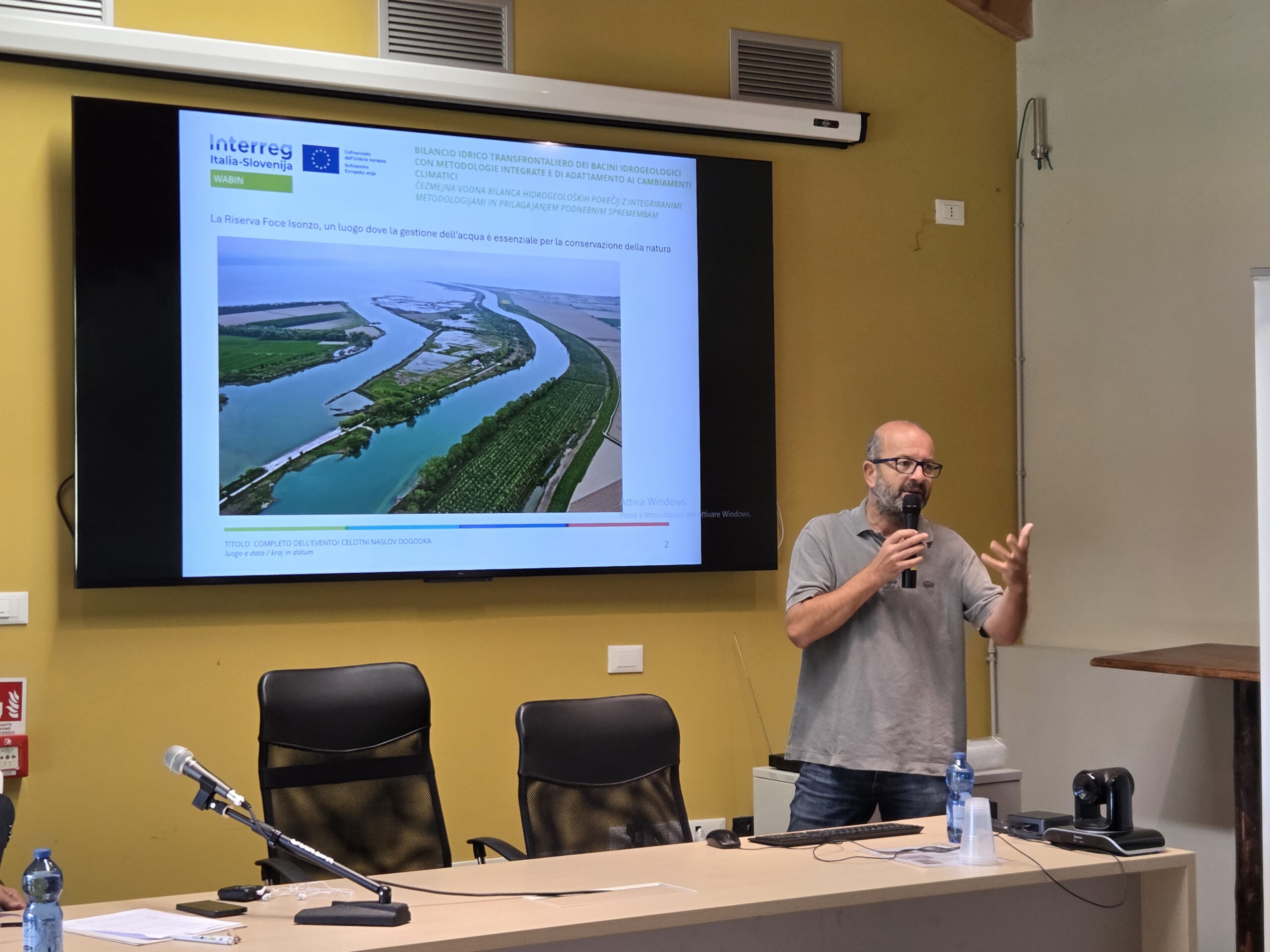
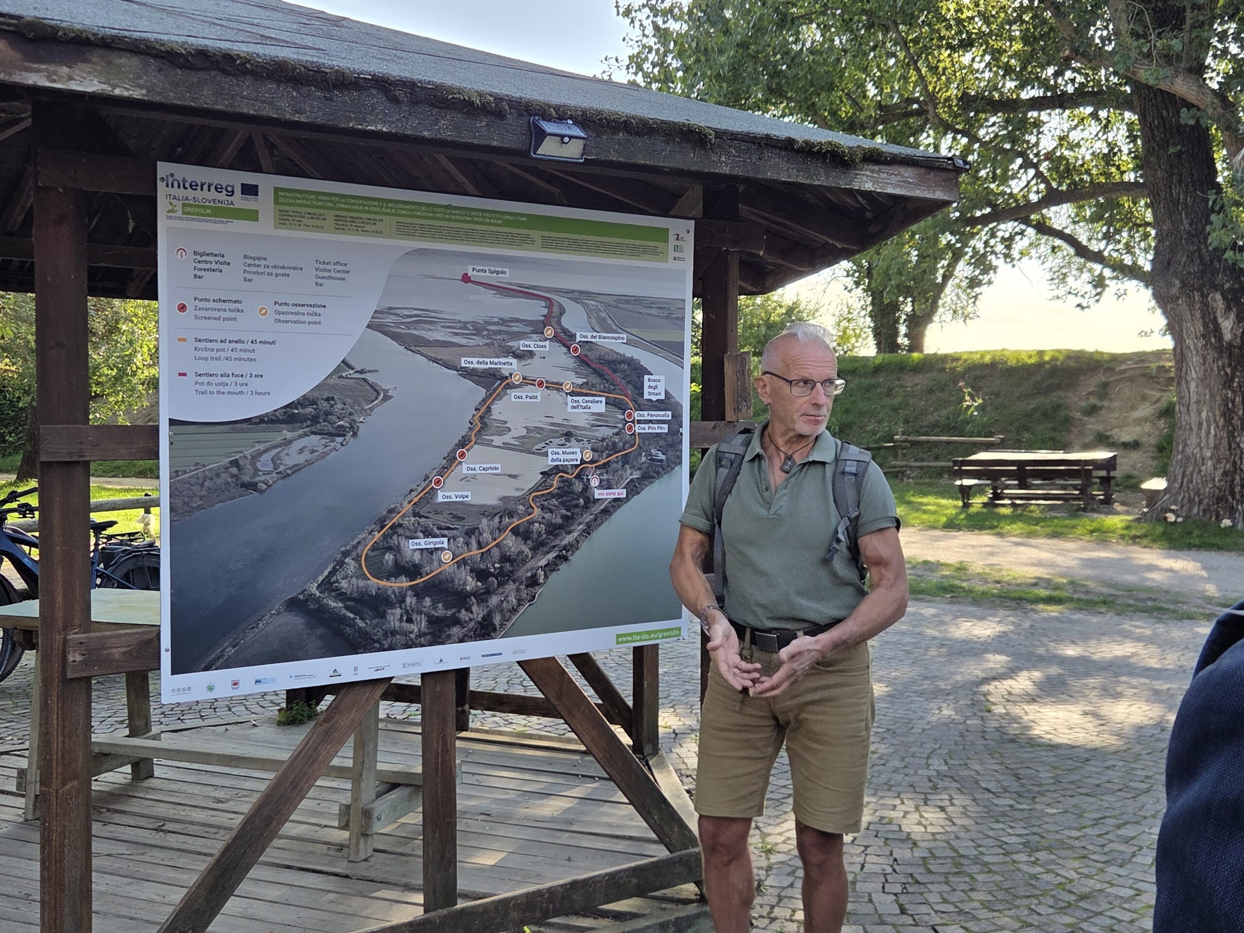
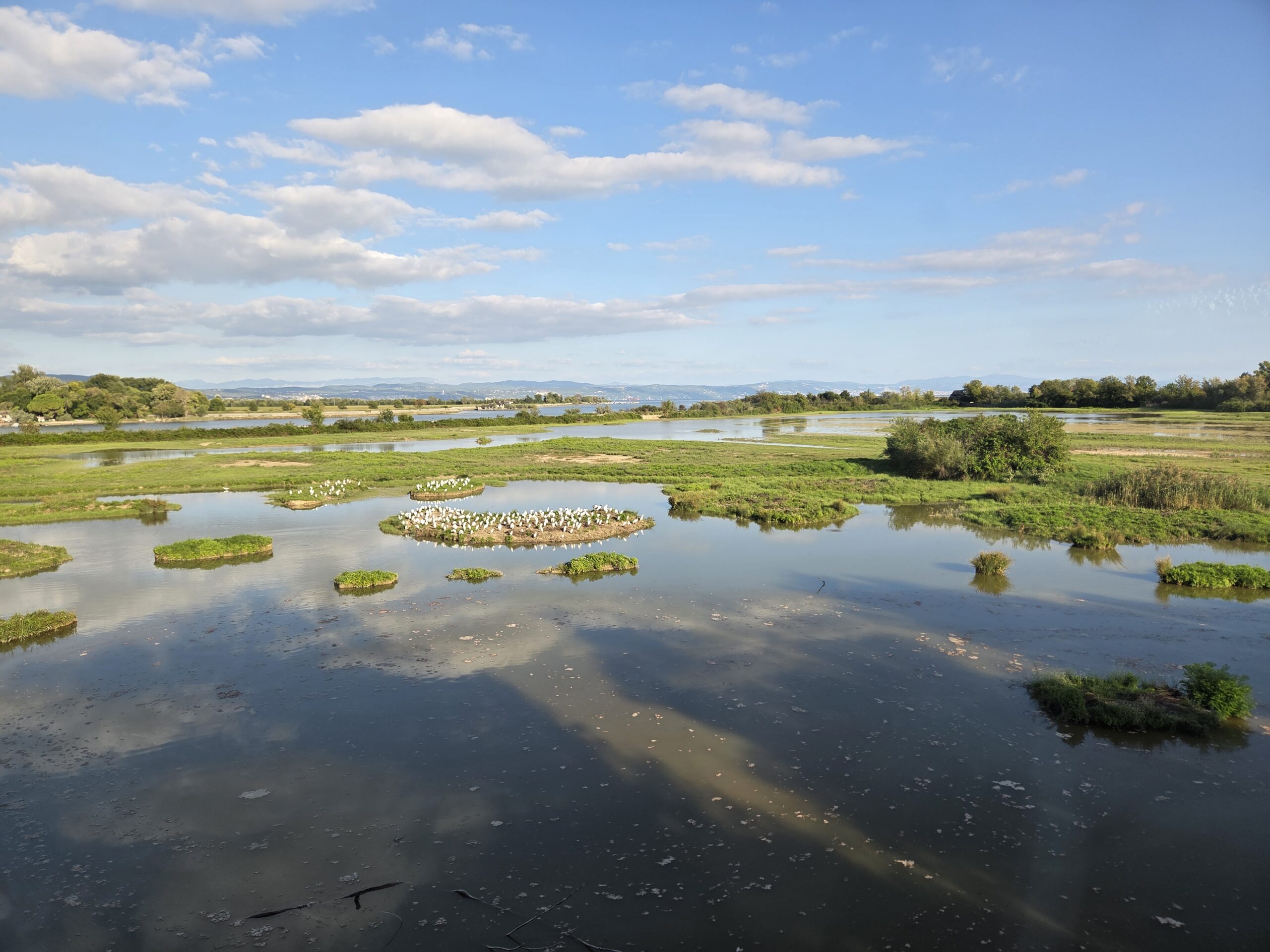
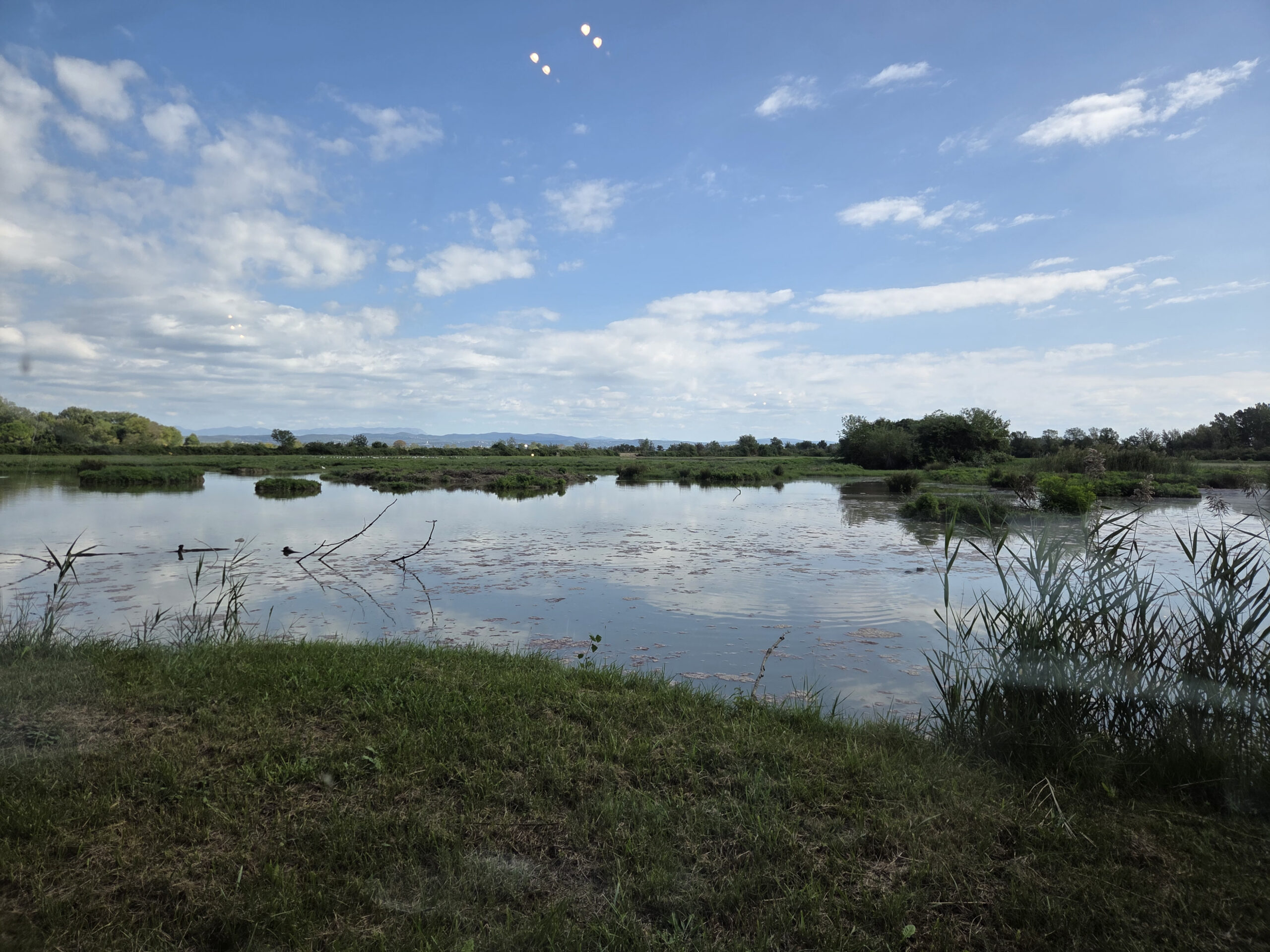
At the Foce dell’Isonzo Nature Reserve, water management is closely linked to the conservation of wetlands and the species that inhabit them. Matteo De Luca of the Isola della Cona centre presented freshwater habitat restoration measures and the need to adapt water level management to changing climatic conditions.
The afternoon discussions also explored the integration of land and sea in spatial planning, alongside new tools for monitoring nature. An example from the Venice Lagoon illustrated how bird monitoring using artificial intelligence can generate data that can be compared with tidal and other environmental data. Combining these datasets helps improve understanding of wildlife responses to environmental changes and can support the planning of activities that minimise disturbance.
The visit concluded with a field tour of Isola della Cona, where participants observed first-hand the links between water management, habitat conservation and climate adaptation. The examples presented highlighted the importance of connecting measurements and models with practical experience, and of working together to manage shared water resources.
The WABIN project is co-funded by the European Union under the Interreg VI-A Italy–Slovenia Programme.